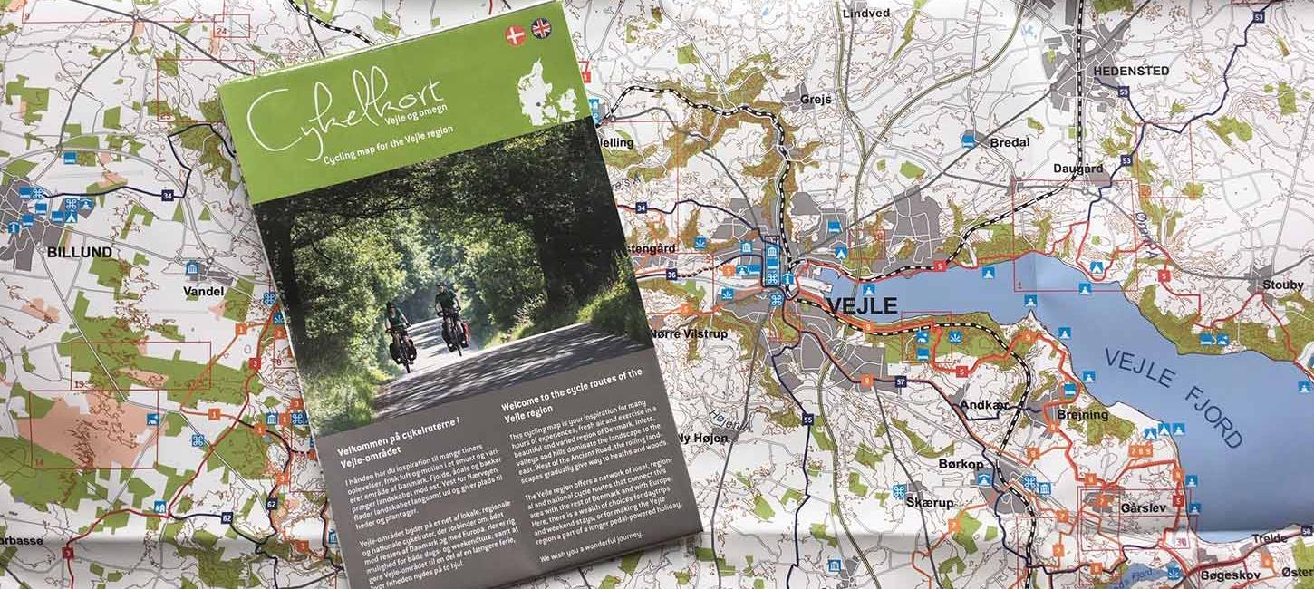
Cycling map for the Vejle region
The cycling map for the Vejle region is a great tool when planning and enjoying a cycling tour. The map includes cycling routes, description of the routes, reference to hiking pamphlets, sights, accommodation, etc.
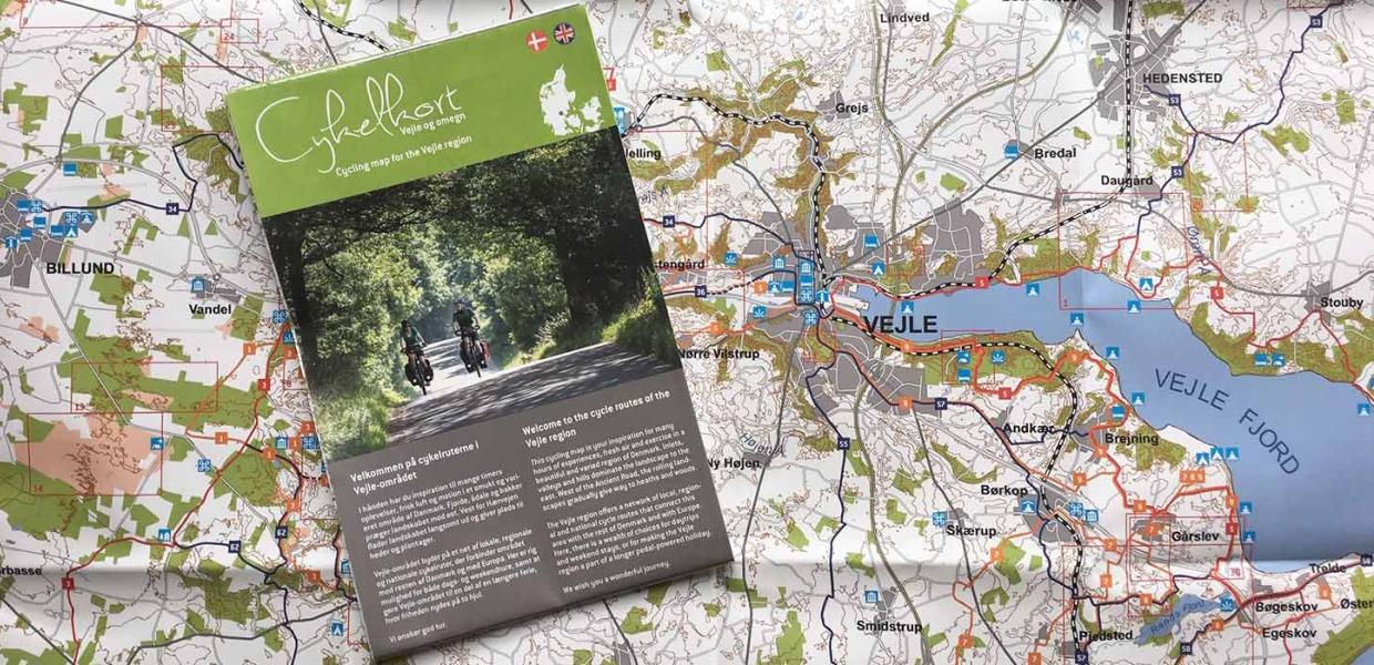
Photo:VisitVejle
The cycling map for the Vejle region is a great tool when planning and enjoying a cycling tour. The map includes cycling routes (3 national, 11 regional and 9 local looped tours), description of the routes, reference to hiking pamphlets, sights, accommodation, etc.
Scale 1:100,000. Fold-out dimension: 79x63 cm. The map is waterproof. Languages: Danish/English
The cycling map is published by VisitVejle with support from the Danish Ministry of Housing, Urban and Rural Affairs and the EU (2015).
View the cycling map as PDF
Or fill in the address form below and receive the cycling map by regular postal service: